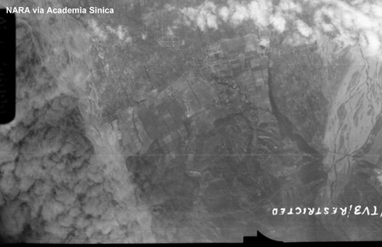
鍾堅的《台灣航空決戰》提到日軍在后里修築了一座飛行場,位置就在現在的七星崗營區。網友Gene也提到,有人告訴他在后里馬場稍北一些曾有日軍飛行場。不過劉鳳翰的《日軍在台灣》與鍾鳳嬌的《戰後初期台灣軍事用地的接收》都沒有關於后里飛行場的記載。下圖是美軍在1945年1月拍攝的后里地區空照圖,看起來並沒有像飛行場的地貌。
It has been reported that the Japanese built an airdrome in Houli. The following is the aerial photo of Houli area, taken in January 1945. There did not appear to be any airfield.
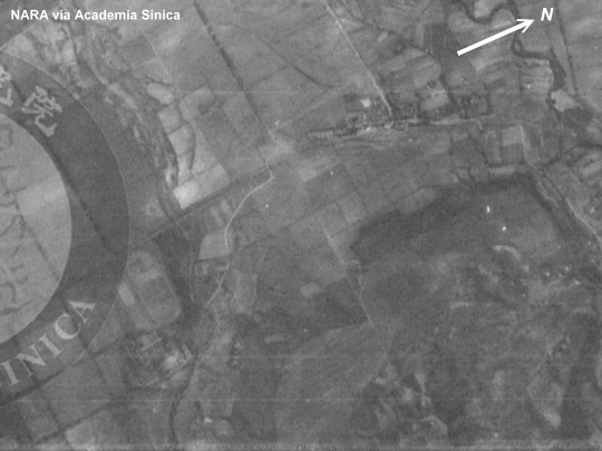
下圖是后里馬場北邊的局部放大,不見任何飛行場,但是可以看到現在依然存在的跑馬場。
The following enlarged photo covered the north of Houli horse stable. No airfields can be seen although the race track is visible.
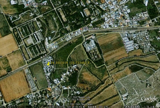
下圖是同一地點的Google衛星照片,標示了Gene提到的座標。
Google satellite photo of the same area. The coordinate mentioned by Gene has been marked.
以下的二戰空照圖涵蓋的是目前七星崗營區的位置,也未發現任何飛行場。
The next WWII aerial photo covered the location of the current Army base at Chisingan. No signs of airdrome either.
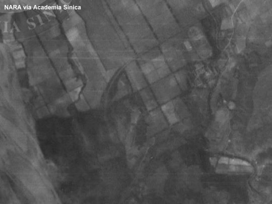
所以可以結論,后里在1945年1月之前應該是沒有飛行場的。至於日軍有沒有在二戰結束前的最後幾個月在這裡趕工興建機場,就要再研究了。