All black-and-white images were taken by either CORONA KH-4A Mission 1035 on Sept 27, 1966, or KH-4B Mission 1106 on Feb 11, 1969. Color images are courtesy of Google Earth. The information on the SAM sites was provided by the excellent IMINIT & Analysis blog. 這裡的黑白照片都是美國的CORONA衛星在1966年9月的1035號任務或1969年2月的1106號任務中拍攝的。彩色的部份則是Google Earth提供。所有飛彈陣地的位置資訊都是透過IMINIT & Analysis這個部落格公開取得,所以無知的官員不要大驚小怪或無端擾民。
- Jinshan (金山) HAWK site (+25° 15′ 34.56″, +121° 37′ 17.19″)
Not much can been on this 1966 image:
The site appeared to have become operational in 1969:
It remains active nowadays:
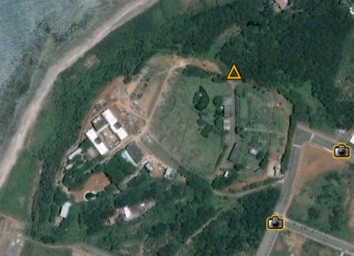
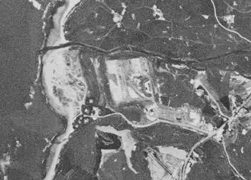
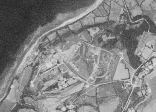
- Tamshui (淡水) Nike-Hercules site (+25° 14′ 4.33″, +121° 26′ 57.55″)
The battery had taken shape by 1966:
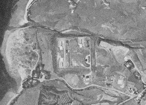
The quality of the 1969 KH-4B imagery was so good that you can even count the missiles:
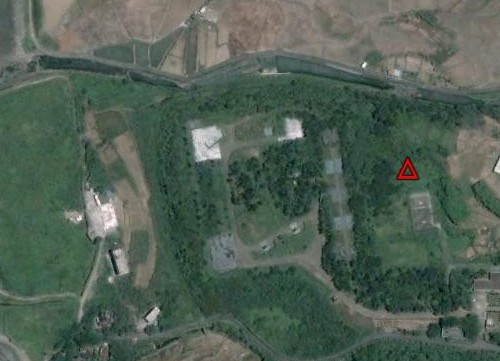
Nike-Hercules SAMs have since retired. Today, the site is occupied by the indigenous Tien Kung (天弓) missiles:
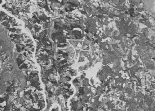
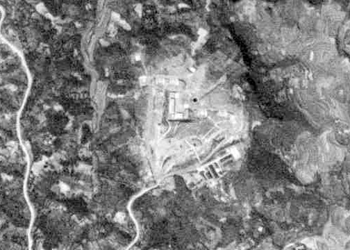
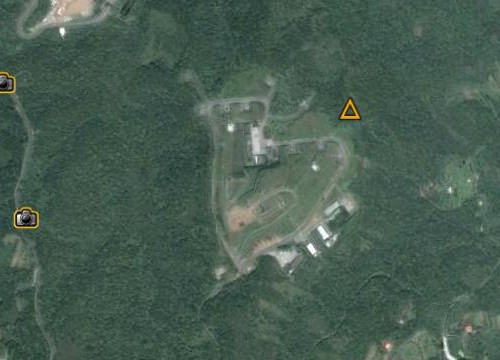
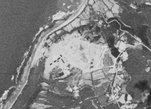
- Tamshui (淡水) HAWK site (+25° 12′ 12.09″, +121° 25′ 40.72″)
It is hard to tell if the site had become operational in 1966:
The launch pads are visible in the 1969 image:
The arrangement of the launch pads has changed little for the past forty years. As of the writing of this post, it remains an active HAWK battery: