我一直找不到埔里飛行場的空照圖,幸好「台灣區各飛機場要圖」裡有張它的平面圖,總算可以知道這座飛行場的大略位置。
I have not been able to find any aerial photo of Hori (the Japanese pronunciation of Puli, Nantou, not to confuse it with Houli, Taichung) Airdrome in the archive. So I could not be happier when I found the following map in Taiwan Area Airdrome Plans.

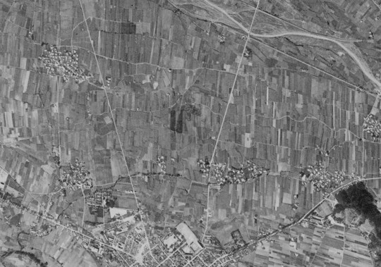
從這張相當簡略的圖來看,埔里飛行場位於埔里鎮上的北邊,所以我找到了下面這張1969年的CORONA衛星照片,可見道路的位置已經不太一樣,而且看不到任何飛行場的遺跡。
The map indicates that the airdrome was located to the north of Puli. In the following 1969 CORONA satellite image, not even a trace of the airdrome can be seen.
由於只有這張手繪的地圖可以參考,所以以下的平面圖顯示的只是飛行場的大略位置。
The following image shows the approximate location of Hori Airdrome.
Great job.
Gene: Thanks.
WENWANG: 我也認為當時的埔里機場跟這裡講的位置不一樣,不過我就只有這些資料了。
與埔里機場有關的歷史事件最有名的就屬霧社事件,日軍從屏東調派來的飛行第八聯隊進駐埔里機場是台灣航空飛行史中重要的一頁.
不過當時的埔里機場似乎不在此處,以當時的紀錄,機場在梅仔腳,梅仔腳在埔里城的東北方,在總督府的文件查詢中可以找到埔里陸軍練兵場在梅仔腳的位置圖.
早期日軍常以陸軍練兵場充作飛行機著陸場,以當時的緊急狀態,飛行機應該是在該處起降.